Sunday, May 27, 2012

Chrome Island

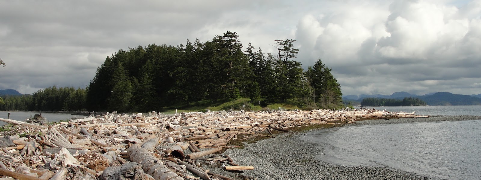
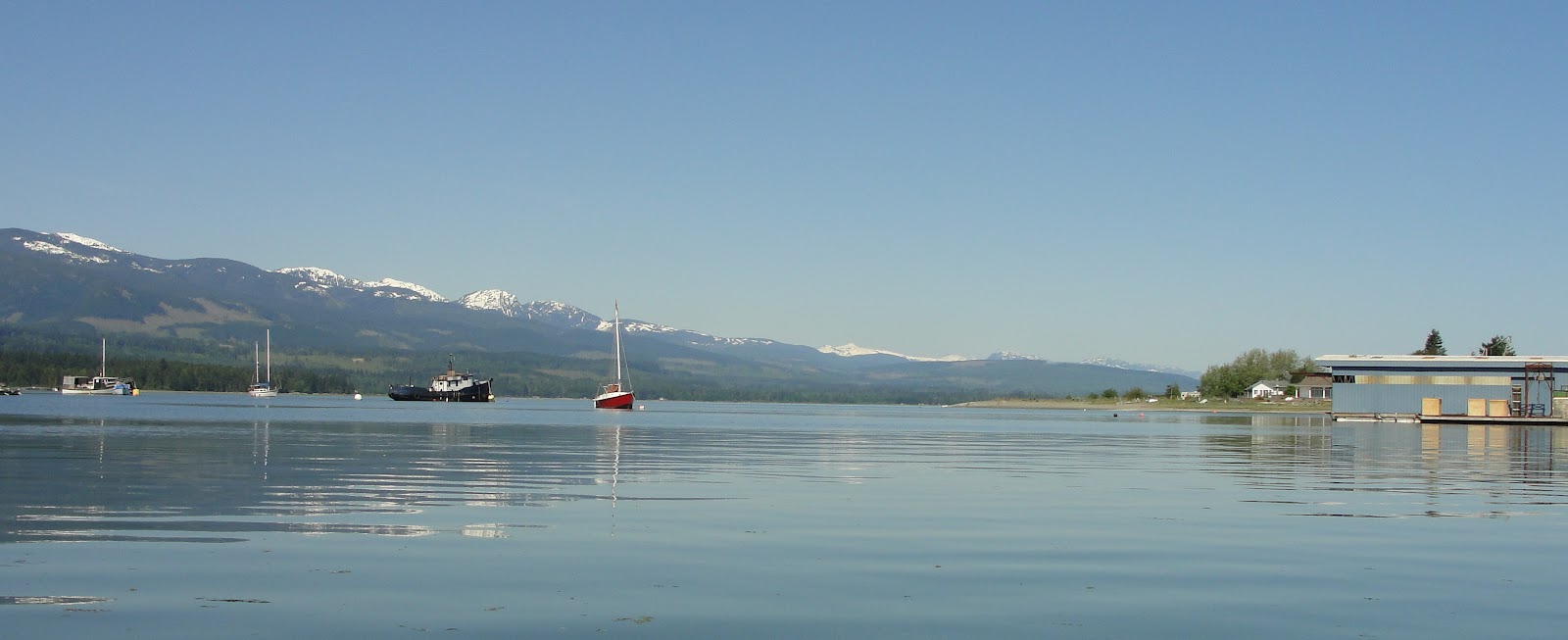
Yesterday it was our last day to paddle on our vacation in the Comox Valley and it was another perfect day of warm sun and very light NW winds. After a quick breakfast we took off down the old Island Highway to the Deep Bay boat launch for a trip over to Denman Island and then south to Chrome Island Lighthouse. The owner of the boat launch said we could use the gravel bar next to the ramp for free instead of paying to use the busy ramp which we really appreciated. So we loaded our yaks and gear onto the Swagman wheels and simply rolled them down to the put in location.

Leaving the Deep Bay Marina heading north towards the spit on the right and the Beaufort Range on the left.

The low tide today was around 16:00 hrs and with our on the water time of 11:00 hrs we were able to paddle over the gravel bar on the north side of the spit. With the ebb flow I expected some current on our crossing over to Denman but other than a slight breeze in our face there was nothing noticeable at all. A few days back we were talking to the owner of Comox Valley Kayaks and she said the current would only be around 1 knot at the most.

Arriving at Denman Island, Chrome Island Lighthouse came into view as we explored the steep rocky shoreline.


A couple of conglomerate boulder buried in the loose gravel.
These were about 10 feet across and almost looked like a pile
of cement until a close up inspection of the composition.
Heading towards the southern tip of Denman Island we noticed the difference in the geology from the northern tip that we visited yesterday. We landed in small bay that looked like an abandoned early settlement of either aboriginal or possibly the Japanese at the turn of the century. On the Google map below you can clearly see what looks like established "beds" on the sandstone sea floor and there are man made water ways leading into what could have been a protected harbour of sorts. Who knows?? I'll have do dig into this a bit more.

One of the reasons for landing here was the huge boulder formations on the beach. Turns out that they weren't typical granite or sandstone in composition.


Instead they were massive conglomerate formations that lie above and below the water line were impressive with some of these rounded "boulders" 20 to 30 feet in diameter. There were no marine shells at all within the conglomerate structure which I would have expected indicating that these came from an area of origin that was far from the primordial oceans or from deep within the earth.

A very compacted mass of smaller boulders have all been bonded together in a cement like structure that have withstood the elements for thousands or millions of years.


The two boulders in the photo above and there is evidence of established beds and what looks like a protective
breakwater with an entrance on the left just above the Google scale. We actually paddled into this "harbour"
through the channel to examine the conglomerate boulders and it wasn't until I was looking at our track did I notice these.


Continuing on towards the Chrome Island Lighthouse, the contrasting white buildings with red roofs were typical of what you imagine that lighthouse facilities would look like. Except, up close their beauty is that much more stunning and obviously the keepers take pride in making sure their facility is well maintained.


After circumnavigating Chrome Island we paddled east and around the southern tip of Denman Island (Boyle Point) playing in the massive conglomerate boulder rock garden. This was the first time that we have ever seen huge red spiny sea urchins which were just below the water line on the boulders.


We made our way into Lambert Channel and from here we could see the east side of Denman and the west side of Hornby Island. Here again even though the channel was fairly narrow there was no noticeable current during the ebb flow. I guess we tend to think about the narrow channels back home and how the current really is quite evident during the tide changes. Once day we will have to return to this magical place and explore more since we only scratched the surface of the water so to speak.

Denman Island on the left and Hornby Island on the right.

Heading back to Deep bay we made a quick stop back in the little mystery harbour to harvest some oysters for dinner. The man made harbour channel was a lot more defined at low tide and the selection of oysters was amazing. Tonight would be the 5th night of dinning on (15) oysters cooked on the BBQ until the shells opened. A little butter, Tabasco and parmesan until bubbling golden brown making it the perfect way to end our vacation. 


Remember when we started this paddle and we were able paddle across the gravel bar at the spit? Look at our track below and you will see how far out we had to paddle to get around the exposed bar on the way back.


A quick calculation of our paddles on this trip totalled 64.73 km and we had fun every meter along the way! Not bad for a couple of newbies huh???

Friday, May 25, 2012

Sandy Island, Could It Be Paradise???

Sandy (Tree) Island on the left and Denman Island on the right from the Union Bay boat launch

This past week we scouted out the possibility of making the crossing over to Denman Island from Union Bay but the SE winds running up Baynes Sound have made the trip not possible. With the arriving high pressure the winds switched direction NW and other than a slight ripple in the morning the water totally flattens out by noon. So today we launched out of the Union Bay boat launch ($5 fee) and started our crossing over to Henry Bay.

One of the reasons for this trip was to visit Sandy (Tree) Island Provincial Park and the Seal Islets that make up a unique spit at the end of Denman Island. At low tide Denman, Sandy and Seal Islands are connected by expansive sand bars and you can actually walk from to each one. As our paddle was on the ebb we and were able to experience this geological feature although by our kayaks.

Arriving in Henry Bay in perfect conditions

Crossing Baynes Sound we experienced no ebb current at all and with only a slight breeze in our face we stopped for a few minutes in Henry Bay to take a few photos. When we looked back towards Union Bay the view of the Beaufort Range was spectacular with it's snow topped peaks glistening in the sun.


The Beaufort Range seen from Henry Bay on Denman Island

Paddling north towards Sandy Island we landed at the Sandy Island Provincial Marine Park to check out the information board and of course to find a Geocache close by. Although you are allowed to camp overnight at the park no fires are permitted. Sounds like a great way to spend a weekend of exploring Denman and neighbouring Hornby Islands in the future. Maybe a West Coast Paddler camp out opportunity???


While Robyn made the "find" I sorted through the hundreds of sand dollars in the shallow water to do a little creative addition to Gecko. There were so many of all sizes available that it wasn't hard to find the perfect ones to give the Gecko a little sunscreen protection on his pads. Once the photo was taken the live sand dollars were returned back to the water. 

When Robyn returned she brought back with her a trackable item called a Travel Bug (TB) from the Geocache. The goal of the TB was to get it's picture taken during kayaking trips so it fit perfect with what we are doing this week. We'll take this TB with us and place it in another "cache" during our future paddles.


Heading further north we landed on Seal Island and made the trek up above the high water line to have lunch. From here you could really see the exposed sand bar that connects Sandy Island and Seal Island. One day soon we'll have to make this trip during high tide to get the full perspective of this geological feature.

View from Seal Island of Sandy Island with Denman Island in the background.
At high tide there is water between all of these islands that make up the "spit" of Denman.  

For our paddle back to Union Bay we decided to head straight to the "barking" sea lions that we could hear all the way across Baynes Sound. Sure enough at the log sort just north of Union Bay we found a colony of massive sea lions sunning themselves on the log booms. Being careful not to get too close we managed to get some great pictures of the bulls establishing their territory and protecting the females and young. The roar they created as they barked at one another was so loud that it was hard for Robyn and I hear each other talk.

I counted 37 sea lions that I could see on the logs. Boy they sure are big out of the water.

Paddling our way back south to Union Bay we passed the area where the old coal loading piers used to be. The sea floor in this area still hasn't recovered from the years of pollution and slag that made it's way into the ocean. After paddling in such pristine conditions across Baynes Sound it was quite a contrast and sad to see.

Back into Union Bay to complete a fabulous day on the water. Tomorrow our plans are to visit the southern end of Denman Island which is home to the Chrome Island Lighthouse.


Thursday, May 24, 2012

I'm No Sig Hansen

Today we kinda took it easy, then again the past 7 days have all been kinda easy. LOL.  Seriously now, today we decided to role play and I decided to be like the famous Sig Hansen and try my hand at crab fishing but kayak style. So this morning me and my greenhorn (Robyn) headed out to the crab grounds about 700 feet east of Bates Beach to drop a string of pots (actually only one) and let them soak for the day. 

Crab pots loaded (see them all??) the MV Gecko ready to head out to the crab grounds.

After the work was done we then paddled north and played in the shallow rock gardens hand picking the many under size Dungeness crabs for identification purposes and then releasing them. WOW if there are that many small ones in close to shore there must me be bigger ones on the crab grounds.

So after a good soak of 8 hours and baited with raw chicken thighs it was time to put the crew (me) back to work and haul the pot. The greenhorn stood by doing nothin (like on the show) but she did manage to take on the role of camera person to capture the images for an up coming episode of "The Hardest Catch".

Hauling the pot up it felt like it was loaded with big keepers and I eagerly waited for it to come over the rail and onto deck to begin the sorting process. Did I say how nice of an evening paddle it was??


Just like on the Northwestern, not all pots are bonanza's and ours today was evidence of that. We did manage to catch a sun star so I guess it wasn't like getting skunked in some respect. LOL  So just like the big boys, we set the pot again but we'll let her soak for 24 hours and see what we might have tomorrow night.


The rest of the late evening we paddled south of our home base and played with the seals a bit or simply just  let the incoming tide push us along. There wasn't a breath of wind tonight and it was amazing to listen to the sounds of evening paddle around us. We watched two bald eagles play desperately trying to clutch each other's talons in mid air and when they gave up one glided over us and all we could hear was the air rushing over its wings. Evening paddles are such a great way to end the day.

AM paddle to the north and PM paddle to the south.

Wednesday, May 23, 2012

Heriot Bay, Quadra Island BC

BC Ferry Terminal at Campbell River. Looks like someone let a sasquatch walk on board lately :-)

We're on vacation so what's with setting the alarm clock to go paddling??? Well that's what started our day off as we blasted out of base camp at 07:00am and headed for the 08:30am Quadra Island Ferry leaving Campbell River. Our goal today was to launch out of Rebecca Spit Marine Provincial Park and paddle around scenic Heriot Bay and the many bays and islands close by.


Rebecca Spit Marine Provincial Park looking north from the boat launch.
Drew Harbour on the left and the entrance to Hoskyn Channel on the right

Rebecca Spit is an amazing geological formation providing protection for Drew Harbour and Heriot Bay from the exposed SE winds as we would later find out. Launching into Drew Harbour we paddled across and explored the coast line on our way into Heriot Bay.

Heriot Bay is a very small village with an inn, marina, grocery / post office and is the ferry terminus if you want to go to Cortes Island. The many rustic buildings made me think that time kinda slows down here. A great lifestyle I'm thinking.


Heading north we paddled through the narrow channel between Quadra Island and the west side of Heriot Island. One of the places that we wanted to visit today was the Breton Islands group which is home to a large seal rookery. As we crossed Hyacinthe Bay the SE winds started to pick up significantly just as we made it to Hyacinthe Point. At this point we were in a pretty good two foot chop with white caps noticeable a little further out. With Open Bay just around the next corner (which we could have possibly found shelter in) we decided the best course of action was to head back towards Heriot Bay. As it turns out .... that was a good decision but ...........


as we approached the northern end of Heriot Island the SE winds really started to howl and heading back around the east side was out of the question. Simple really ..... head back through the narrow channel we paddled through a few hours earlier but .........

Where did all the water go????

Every time we head out on the water we get to experience something new for the first time so why would this trip be different?? In this case our first portage was in order if we wanted to get back to our put in location. See the little hut in the distance? That was the starting point of hauling our yaks and you ask why didn't we just use our wheels??? Well... they were back in the truck because we figured we didn't need them on this paddle. Lesson learned we got'em ... take'em. LOL.

Anyway there is always a upside to everything that gets thrown in your direction and in this case after shuttling the yaks in stages we explored the exposed channel bottom which turned out to be covered in the most amazing oyster bed we have seen. Thousands of sand dollars, lots of red rock crabs (soft shells though) and even a Cailifornia sea cucumber. One thing I did check on before we headed out today was the the PSP levels in the area and so it was oyster harvest time for tonight's dinner.


Rebecca Spit Earthcache. Simple... picture at the coordinates
read the geological information provided on the cache listing
and send answers to the cache owner to get credit for it.
We headed back over to Rebecca Spit and another first for us as the next thing we were paddling in a rain squall along with cresting wind blowing one foot chop. It's a good thing that fetch of Drew Harbour isn't that long as the wave height probably would have been much greater. It was a bit of a slog to reach the spit but once there the rain stopped and we landed on a beach for lunch. As many of you know we like to Geocache and doing so by kayak makes it that much more of an adventure. Rebecca Spit is home to an Earthcache (Geological feature no hidden item) and a couple other regular caches.


Quathiaski Cove Ferry Terminal
After 5 hours on the water it was time to head back to the put in location and make our way to the ferry terminal to get back to Campbell River. One day we must come back to this magical place and maybe even spend a week over here exploring the many other great places to kayak around Quadra Island. Surge Narrows???? Who knows .... maybe one day.


Monday, May 21, 2012

Alternate Opportunities

For the past couple of days the rain and wind just haven't been playing fair and as a result we had to find other ways to enlighten ourselves to pass the time by. 

CF-101 Vodoo.  Hawk One was the signature aircraft of the Nighthawks, 409 all-weather fighter squadron.


Yesterday we visited the Comox Air Force Museum which I have never been to in all the years that I have "played" in the area. 


The collection of memorabilia and information was amazing and well worth stopping by to visit. There are also a number of decommissioned aircraft on the grounds that once served at CFB Comox. I could resist the opportunity to sit in an ejection seat and get my picture taken. Don't worry.... the big yellow handles don't work. I know ..... I tried them!  LOL


We spent the rest of the day driving around checking out put in locations and even talked to a couple of local kayakers about paddling across to Denman Island. Gotta love kayakers and the wealth of information they love to share about their paddling home waters. A quick stop at Fanny Bay Oysters for another batch of BBQ treats and then we spent the rest of the time Geocaching our way back to Courtenay. We also checked out the local kayak shop Comox Valley Kayaks and if you are in the area you just have to check out the inventory of boats and gear they have in stock.

After a night of heavy rains we awoke to 25 knot winds roaring up the Salish Sea so paddling was out of the question for the day. Instead we decided to go for a hike around Seal Bay Park and find Geocaches while we tried to get ourselves lost in the woods. Over a period of 4 hours we managed to find 20 "caches" and covered a distance of almost 13 km. 

One of the coolest things we found on the trail head was a QR code that once scanned with our Blackberry it enabled us to see a map of where we were. Ya, we had two GPS'rs with us but they didn't have all the trails so it looked like we were simply walking around a big open field as far as they were concerned.

If you have a QR app on your smartphone try it on this picture.


Being so close to 19 Wing Comox there was FA-18 activity today and we could hear them roaring over the tree tops (maybe looking for us??) pulling high "G" turns. I managed to take this photo as the fighter went full "dirty" on approach to the runway. 


Back to base camp where it was moving day for us after the long weekend campers had vacated the prime sites on the water front. Now this is the life living right on the beach.


Oh yeah ...... other great things to watch fly by in front of the campsite. :-)

CAF C-17 Globemaster III


Our little hike around Seal Bay Park

Saturday, May 19, 2012

Paddling In The Back Yard

What a morning! Brilliant sunshine and almost no wind so it was a quick breakfast and into the yaks for a paddle right outside base camp. Our plan was to head south towards the Comox to Powell River ferry terminal playing in the rock gardens along the way.

Bates Beach RV Resort from the water. Our site will be the furthest one on the right on Monday.

Orange Sea Slug photo taken with my
GoPro mounted on the submersible wand.
The first place to explore was Seal Bay and living up to its name there were lots of seals sunning themselves on the rocks as we glided between massive boulders just below the surface. 


Paddling very close to the shoreline we were able to paddle in a couple feet of water. The Intertidal Paddle that we took a few weeks back really helped in identifying the various seaweed and kelp species as well as a number of different types of crabs and even an orange sea slug.  


The perfect day to sight our first California Sea Lion (see the ears) or should I say hear them. In either case they were very vocal and by the way they were sunning themselves from a distance they almost looked "whale like". This one in particular didn't mind us one bit at all even when the slight breeze brought us closer together. 


No it's not a periscope (LOL) but my GoPro mounted on the under water wand that I made
and was testing on this paddle. The sea lion didn't seem to mind my handiwork and best of all it floats. 

With the low tide bald eagles were "working" the tide pools. They easily out numbered he gulls on this paddle and it was good to see all of the juvenile birds as well. A couple of quiet kayaks are no problem at all to these majestic birds.

What will tomorrow's paddle be?? Who knows .... we're on vacation :-)


Friday, May 18, 2012

Royston Wrecks Expedition #1

Well here we are on vacation for 10 days in the beautiful Comox Valley on Vancouver Island. We have chosen Bates Beach RV Resort just north of Courtenay and Comox as our base camp as it is situated right on the Salish Sea and has spectacular views across to the mainland coast mountains. From this location we can plan our day trips or simply paddle the waters  right on our back door so to speak.

Today we headed south to the small community of Royston where the famous Royston wrecks are located. Our put in location was less than 1 km from the wrecks and most of the hull remains could be seen above the  water.  It was just turning to the flood tide as we wheeled our kayaks down to the water and headed towards the remains of  the steel sailing ship Riversdale that was built in Liverpool (1894) and became part of the break water in 1961.


Unfortunately the the winds from the south east picked up pretty good and it wasn't long before we were sloshing around in 10 knot winds and it didn't look like it would ease up any. We paddled closer to shore and checked out Frigate HMCS Prince Rupert (K 324) which was built by Yarrows Ltd. (Esquimalt, BC) in 1942. The Prince Rupert was built specifically to serve during WWII as an ocean escort and during its very short service assisted in the sinking of German submarine U-575 on March 13, 1944. Prince Rupert was decommissioned on January 15, 1946 after only 4 years of service and she was positioned at the Royston breakwater in February 1948.

The remains of HMCS Prince Rupert after almost 65 years at Royston

The SE winds continued to pick up so we decided to head back to our put in location and drive down towards Deep Bay to check out locations to launch from this week. We talked to a couple of local kayakers about heading across to Denman Island which we will attempt to do if the winds are in our favour later this week. And of course we had to stop at Fanny Bay Oysters to pick up a dozen oysters for the BBQ later in the day.

Heading back to base camp we checked out the Comox Valley Visitor Center which is an amazing facility. Inside is like a mini museum highlighting the many activities and places to visit in the area.  Yes that is a Delta kayak.:-) Outside is a RCAF Snowbird (#5) CT-114 Tutor which is an awesome way to acknowledge their west coast training at 19 Wing Comox.